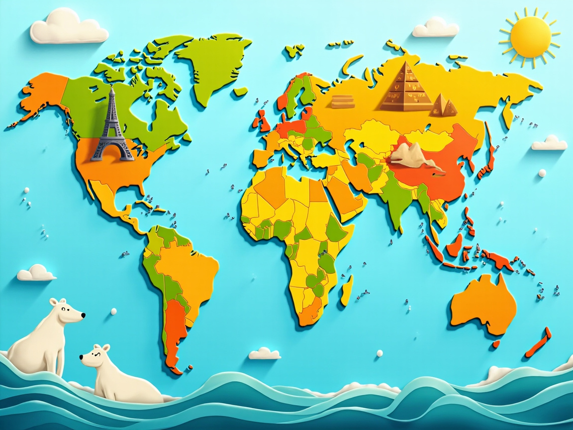
Test Your World Knowledge: Intermediate Geography Challenge
Discover fascinating facts about our planet's countries, capitals, and cultures while practising your English.
Our Planet's Seven Continents
The world is divided into seven continents: Asia, Africa, North America, South America, Antarctica, Europe, and Australia. Each continent has its own unique characteristics, from the frozen landscapes of Antarctica to the tropical rainforests of South America. With over 7.8 billion people sharing our planet, the distribution of population varies dramatically between regions. Some countries are enormous, while others are tiny island nations.
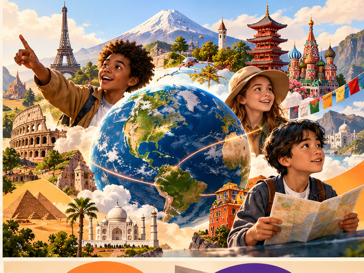
Understanding Geography Terms
The equator is an imaginary line that divides the Earth into the Northern and Southern hemispheres. Geographers use specific words to describe landforms: a group of islands is called an archipelago, while a piece of land surrounded by water on three sides is a peninsula. High, flat areas of land are known as plateaus. Vegetation refers to all the plants that grow in a particular region, from cacti in deserts to palm trees on tropical beaches. A famous landmark might be a natural formation or a man-made structure that everyone recognises.
جغرافيا بإنجليزي: الكلمات اللي بتسأل وتجاوب بيها
هتتعلّم إيه من الدرس؟
الدرس ده تحدي معلومات عن كوكبنا: قارات، وخط الاستواء، وتضاريس. هو مش اختبار حفظ؛ هو فرصة تتعلم لغة الأسئلة الجغرافية — الكلمات اللي بتتسأل بيها في الكويزات والألعاب وأي نقاش عن العالم. هنقرا القسمين ونطلّع المصطلح اللي بيفتح الباب.
القارات: التقسيمة اللي لازم تعرفها
The world is divided into seven continents: Asia, Africa, North America, South America, Antarctica, Europe, and Australia.
العالم متقسم لسبع قارات: آسيا، أفريقيا، أمريكا الشمالية، أمريكا الجنوبية، أنتاركتيكا، أوروبا، وأستراليا.
أول قسم بيدّيك الخريطة الكلامية للعالم: سبع قارات وكل واحدة ليها شخصية. الجملة دي بتحط التقسيمة نفسها:
التركيب «divided into» مبني للمجهول بيوصّل التقسيم الرسمي: الكل بيتجزأ لأجزاء محددة. والقايمة بعدها هي اللي لازم تحفظها بالترتيب. لاحظ إن المقال بيستخدم «continent» لكل قارة — دي الكلمة اللي هتلاقيها في أي سؤال جغرافيا.
مصطلحات: الخط الوهمي اللي بيفصل نصين
The equator is an imaginary line that divides the Earth into the Northern and Southern hemispheres.
خط الاستواء هو خط تخيلي بيقسّم الأرض لنصف الكرة الشمالي والجنوبي.
تاني قسم معجم مصغر للتضاريس. أشهر مصطلح فيه هو خط الاستواء، والمقال بيعرّفه بجملة واضحة:
الكلمة «imaginary» مهمة: الخط مش مرسوم على الأرض، ده اتفاق للخريطة. وباقي الجملة بتوضح وظيفته — التقسيم لنصفين. لو حفظت التعريف ده، تقدر تفهم أي سؤال بيدور حوالين نص الكرة الشمالي أو الجنوبي.
مصطلحات الخريطة واللغة
كل تركيب هنا مربوط بجملته. شوف المعنى وإزاي تستخدمه في سؤال أو إجابة.
is divided into
معناها «متقسم لـ»: وصف رسمي للتجزئة — الكل بيتفصل لأجزاء معروفة.
التركيب be divided into + number / parts: is divided into seven continents / is divided into three sections. مبني للمجهول عشان المهم التقسيمة مش مين قسّم. استخدمه لما توصف أي نظام مقسم — كتاب أو سنة دراسية أو بلد.
The book is divided into four chapters.
الكتاب متقسم لأربع فصول. وصف هيكل.
The year is divided into twelve months.
السنة متقسمة لاتناشر شهر. تقسيمة زمنية.
imaginary line
معناها «خط تخيلي»: حدود مش موجودة على الأرض لكن متفق عليها على الخريطة.
اسم مركب من صفة + اسم: an imaginary line / imaginary friend. الصفة imaginary معناها «خيالي/مش حقيقي» وبتتفرق عن imaginative اللي معناها «مبدع». استخدمها لما توصف حدود أو خطوط اتفاقية مش ملموسة.
The border between the two countries is an imaginary line on the map.
الحدود بين البلدين خط تخيلي على الخريطة. استخدام جغرافي.
My daughter has an imaginary friend she talks to at night.
بنتي عندها صاحب خيالي بتحكيله بالليل. استخدام يومي للصفة.
ورقة مراجعتك للجغرافيا
تقريب النطق بالعربي للمساعدة بس؛ صوت المقال هو الموديل.
| التعبير | معناه هنا | النطق | تقريب بالعربي | موضعه |
|---|---|---|---|---|
| is divided into | متقسم لـ / مقسوم على | /ɪz dɪˈvaɪdɪd ˈɪntuː/ | إز ديڤايدِد إنتو | فقرة القارات |
| imaginary line | خط تخيلي / غير حقيقي | /ɪˈmædʒɪnəri laɪn/ | إماجِنَري لاين | فقرة المصطلحات |
افتح خريطة العالم في دماغك وصفها بجملة واحدة: العالم متقسم لكام قارة، وخط الاستواء بيقسمها لنصين. وبعدين اكتب سؤال واحد عن بلد بتحبها باستخدام divided into أو imaginary line.
اختبر نفسك
-
1How many continents are there on Earth?
There are seven continents: Asia, Africa, North America, South America, Antarctica, Europe, and Australia.
-
2What is the equator?
The equator is an imaginary line that divides the Earth into the Northern and Southern hemispheres.
-
3What is an archipelago?
An archipelago is a group of many islands, such as the Philippines or Indonesia.
-
4Which word describes a piece of land surrounded by water on three sides?
A peninsula is land that is surrounded by water on three sides, like Italy.
-
5What does 'population' mean?
Population refers to the number of people living in a particular place.
-
6What is a plateau?
A plateau is an area of high, flat land, like the Tibetan Plateau.
-
7What does 'vegetation' mean?
Vegetation refers to all the plants that grow naturally in a particular region.
-
8What is a landmark?
A landmark is a well-known building or natural feature that people recognise, like the Eiffel Tower or Niagara Falls.